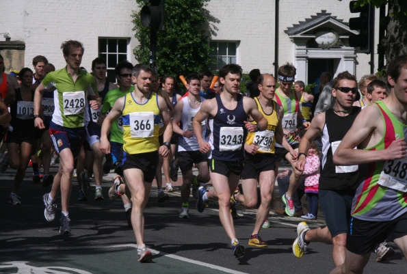
Route of the Cotswold Classic 10
Route of the Cotswold Classic 10
This year's Cotswold Classic 10, aka Witney 10, has a new route. This web page has two maps of the new route and lots of photos showing scenes from the route. I hope it'll give you some idea of what's involved.
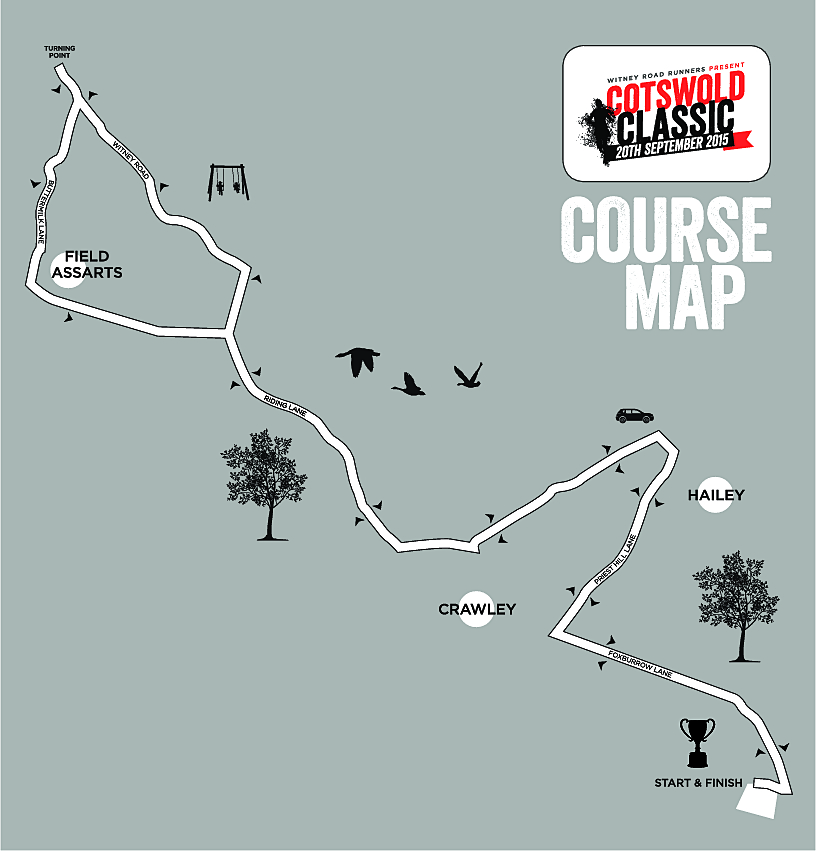
Witney Road Runners' web page about the Cotswold Classic 10 includes a course map.
Below I give a version of this official course map. You can click on this image to download their map which is of better quality. Looking at the map, I think the main differences are:
- As well as finishing at the School, the race starts in the grounds of the School.
- The new route doesn't have the steep descent into and the steep ascent out of Crawley: instead, just before descending into Crawley, it takes a road North East towards Hailey and then uses a different road to return to the usual route, returning to the usual route just after the old route's hill out of Crawley.
- Having said this, it does have most of the long, very gentle climb from Crawley to Leafield.
- On the outskirts of Leafield, the race turns round: for the first 2K of the return route it uses a different route but then it rejoins the outward route and you return to the start along the same route as you did on the way out.
- So on the return, there's no visit to Fordwells, Asthall Leigh and Minster Lovell.
- And, on the return, the old route's ascent out of Crawley is omitted, as you pay another visit to the outskirts of Hailey.
Below I give my interpretation of the above map.
On my map, red is used for roads that form part of both the outward
and return routes, green is used for roads only used outward and blue for roads only used on the return.
Black gives roads that formed part of the old route of the race but which are not part of this year's route.
Below there are some photos of places along the route. Click on any image to see a hi-res version. If you put a photo somewhere public, please add a credit. Thanks.
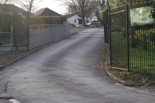
The race starts at the School ...
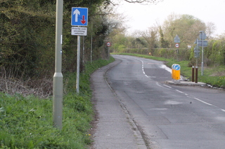
... and ascends the B4022 (Hailey Road) before turning left into ...
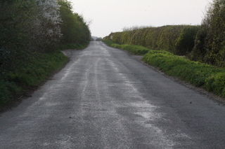
... Foxburrow Lane where the race used to start.
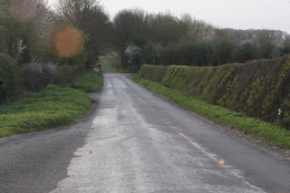
A bit further along Foxburrow Lane, there is a major change in the route: in this photo you can probably just see in the distance a temporary traffic light beaming red - at that point the old route descended down a hill into Crawley whereas the new route turns right ...
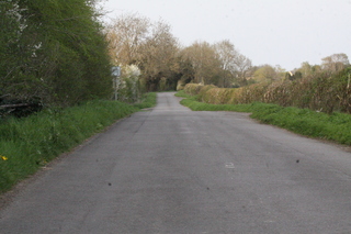
... to go along Priest Hill Lane which is ...
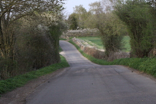
... undulating
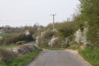
... undulating
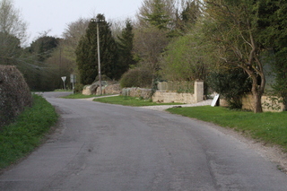
This photo shows in the distance the end of Priest Hill Lane - at the end turn left ...
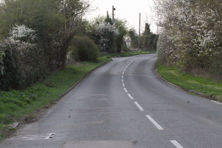
... and go along a very short section of the B4022. It starts here and you turn left off it two thirds of the way along the section of the road shown in the photo.
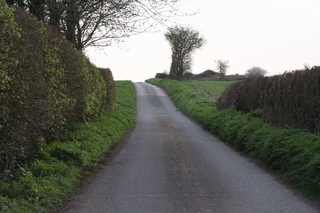
After turning left, you go along a single track road ...
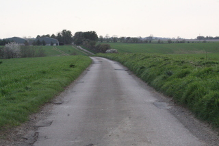
... which for a fairly long section is open on both sides
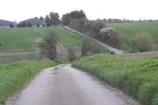
... and has this dip descending from 110m to 98m and then back up to 110m. Here you are crossing the stream that goes through Crawley but being further upstream the hill is not as acute as that in Crawley.
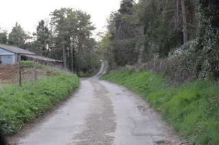
After the dip, the single track road goes pass Broken Hatch Farm ...
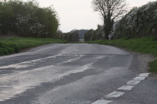
... and, here at the end of the single track road, you rejoin the old route of the race. You rejoin it at the top of the hill that is on the other side of Crawley.
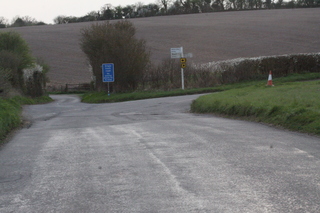
About 0.75K later, you reach this junction (which is at 103m) - there is normally a water station here - and you bear right along Riding Lane ...
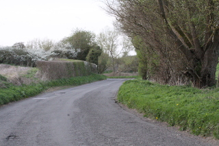
... which twists ...
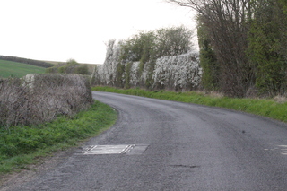
... and twists ...
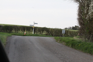
... until it reaches a junction where the main road goes left and the race route goes right - here the route is crossing a Roman road called Akeman Street.
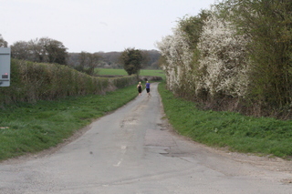
The right turn takes the route along this single track road - it's flat to begin with (at 123m) but ...
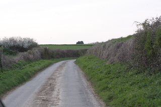
... it very gently climbs up towards Leafield ...
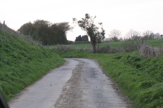
... twisting as it goes - here it's called Witney Lane - and it's at 145m.
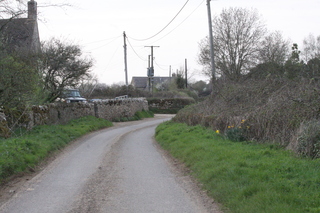
At Side Farm the route is now at 155m ...
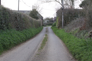
... and is straightening out.
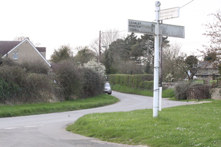
At 160m when the route reaches the main road from Crawley to Leafield at this signposted junction, it turns right - but after a short distance you reach the turn-round point of the route and so ...
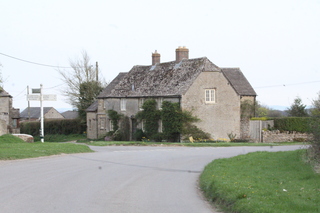
... the route returns to the signposted junction. The outward route came in from the left: on the way back the route goes right along Buttermilk Lane.
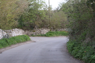
The road twists ...
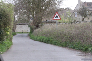
... and passes Buttermilk Farm.
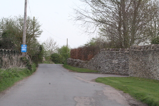
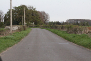
At a cross roads (at 143m), the route turns left along this road ...
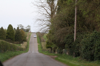
... which undulates ...
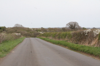
... and is then near to the top of an ascent.
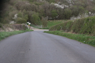
It then descends to the junction where Akeman Street crosses (123m) where it turns right to retrace the route it took on the way out.
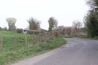
It's mainly flat until the bit near the water station where it ascends to 103m.
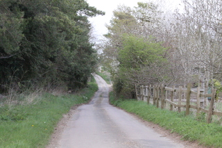
Shortly after passing the water station the route turns left and retraces the single track road that first goes past Broken Hatch Farm.
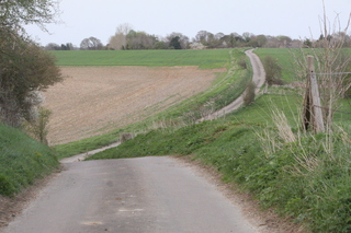
And after the Farm, there's the dip that was done on the way out ...
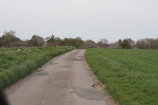
... and the section with no hedges.
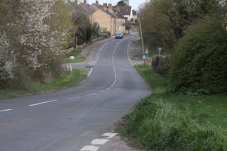
At the end of the single track road, the route turns right to go along a section of the B4022 - it's short - it's from here to where the blue sign is and at the blue sign the route turns right to go along Priest Hill Lane.
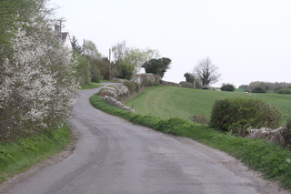
It passes houses and there are some gentle rises.
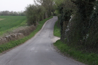
This is near to the end of Priest Hill Lane - at the end the route turns left ...
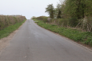
... along Foxburrow Lane which rises from about 103m to 113m
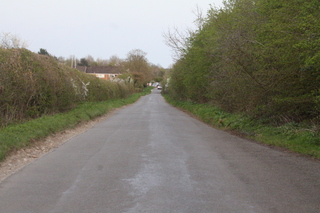
and then descends and goes past the place where the race used to start.
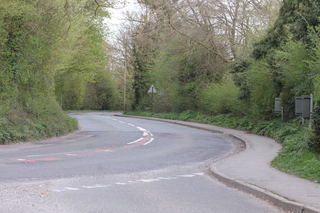
At the end of Foxburrow Lane the route turns right and uses the footpath on the right hand side of the B4022 (Hailey Road) ...
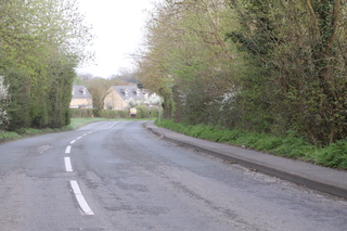
... descending all the time ...

... before turning right into the grounds of the School.
