Recce of the OXL Cirencester XC
Recce of the OXL Cirencester XC
This web page has a few photos of the routes of the medium and large laps of the 2018-19 OXL Cirencester XC being held on Sunday December 2nd 2018.
I went there on Thursday November 29th 2018. I was mainly there to recce where I would take photos if it were pouring with rain! and so I didn't bother to see all of the course. Here's a link to the OXL course maps. Those course maps refer to the points A to R some of which are mentioned below. Although this web page says "The course routes are different from those of past OXL fixtures held at this venue" I think the course between the Start and C and between L and the Finish are the same as that used previously.
You can click on a photo to get a hi-res version of the photo.
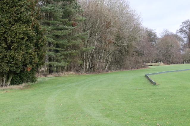
It's flat, mud-free grass all the way from the Start to point D. This photo was taken at point B looking towards D.
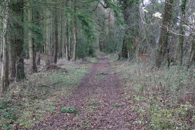
The route between F and H is fairly dry but as you can see there are a lot of fallen branches.
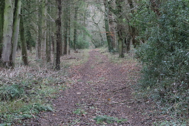
Further along the route between F and H (where there are more fallen branches).
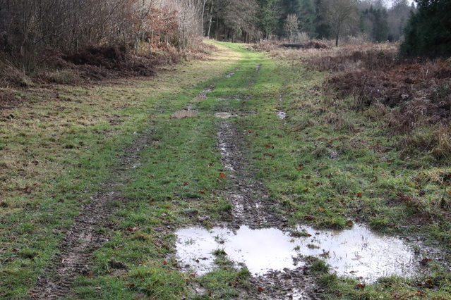
There are puddles on the route between J and L - used on the medium lap.
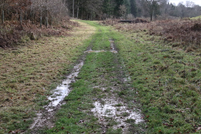
More puddles between J and L - used on the medium lap.
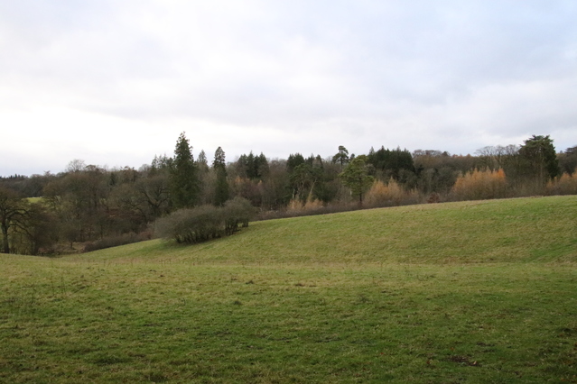
View from a long way away of the descent from K (away to the right) to L (shown at the left) - used on the long lap.
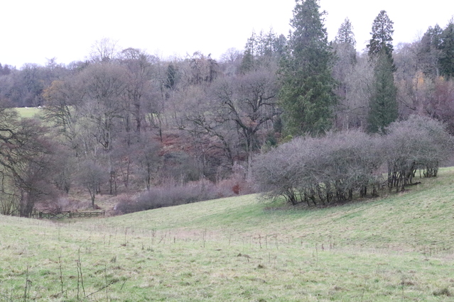
View from a long way away of the descent down to L (shown at the left) - used on the long lap.
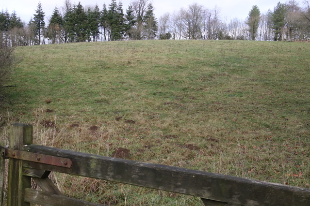
View from point L looking back at the hill that comes down from K which is away to the left at the top of the hill - used on the long lap.
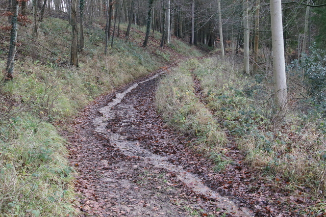
Start of the long gentle ascent from L to N.
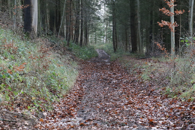
Further along the long gentle ascent from L to N.
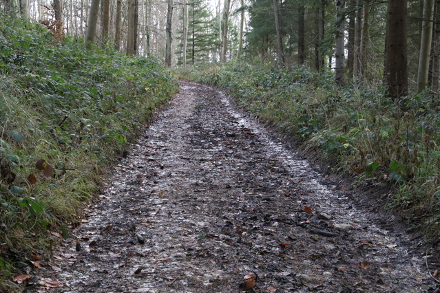
Towards the top of the long gentle ascent from L to N - the track is a mix of mud and hard stone.
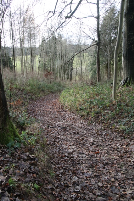
Part of the descent from O to P.
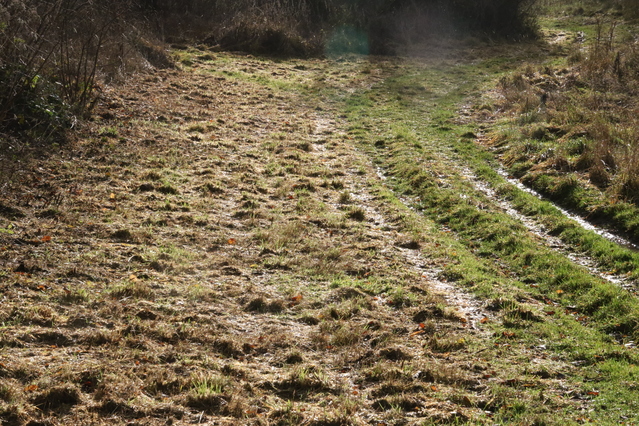
It's flat from P to Q.
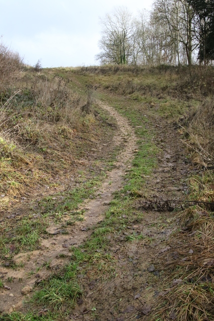
View of the steep hill from Q up towards R.
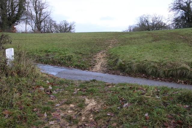
When you reach the road, the hill continues for a short distance.
You'll use the road that comes in from the right when you enter the Park. Before this crossing the road is marked with a "Ramp" sign. So when you get to the "Ramp" sign on your way in, look out left to see the hill that you'll have to ascend (a few times) later!
Metadata
First released: November 29th 2018
URL: http://www.oxonraces.com/blog/2018-11-29-cirencester
