

Recce of the OXL Henley XC
Recce of the OXL Henley XC
This web page has a few photos of the course of the 2019-20 OXL Henley XC which is being held on Sunday March 1st 2020.
I went there a year ago (on Saturday March 2nd 2019). I was mainly there to recce where I would take photos if it were pouring with rain! and so I didn't bother to see all of the course. Two words to sum up the course: beautiful and hilly!
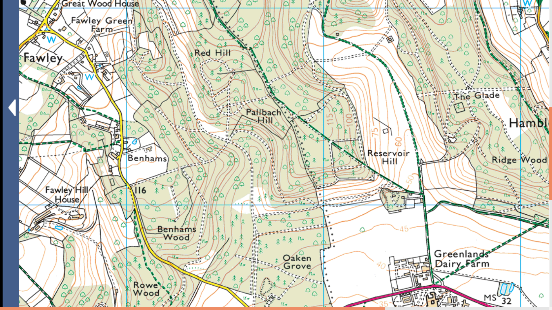
Here's a link to the OXL course map. That course map refer to the points A to N some of which are mentioned below. Differences from last year include the section from the start to point B and the section from point H to point J. The latter does not include the hill North of H which the Seniors did 3 times last year. So it's a slightly easier course this year! Here's a link to a OS 1:25000 map which is useful as it's got contours on it.
The photos given below were taken a year ago and so things might have changed in the last year. You can click on any of the photos to get a hi-res version of the photo.
 #01
#01This photo is taken at Point K. Point K is on the Medium and Long Laps. From Point K to L and M, the course is along a public right of way that is a bridleway. So watch out for walkers, horses and mountain bikes! I saw bikers charging down the hill towards me when i was there for the recce in 2019.
As you can see, it's quite a steep climb from point K up to the wood. The OS map says it's from about 55m to 80m.
 #02
#02The path continues going upwards when it reaches the wood. At this point, the ground is rough.
 #03
#03 #04
#04 #05
#05 #06
#06This is roughly at the top of the ascent. The OS map says the total ascent from point K onwards is from about 55m to 120m.
 #07
#07In 2019 when I did the recce there were a few puddly bits on the level section at the top.
 #08
#08 #09
#09 #10
#10 #11
#11This is point L. At this point, the Long Lap goes straight on towards point M. However, I went left which is down towards point F. It's the route of the Medium Lap.
 #12
#12To begin with, the route from L to F is gently down.
 #13
#13 #14
#14But the descent is a bit steeper as you approach point F. Here the track is quite stony.
 #15
#15I don't think the water troughs on the route are for runners!
 #16
#16This photo is taken just after point F on the route to point G. This part of the course is used by the Small, Medium and Large Laps. There's a gentle climb from F to G.
 #17
#17Not far after point F, you can see to the right a track that is below you - this is the course from point E to point F.
 #18
#18 #19
#19It gets a bit steeper as you approach point G.
 #20
#20 #21
#21Just before G it starts to descend a bit and a view of the Thames valley towards Marlow opens up.
 #22
#22Just after point G the course flattens.
 #23
#23But here it starts to descend. The course has a bit of a chalky outcrop at this point.
 #24
#24And it descends even more to get down to point H.
 #32
#32You then make you way to point J where the next lap starts. However, if you're going to the finish, then, just after point J, watch this steep bit under the trees as it's got some rabbit holes.
 #33
#33Sprint to the finish!
Metadata
First released: February 28th 2020.
URL: http://www.oxonraces.com/blog/2020-03-01-henley-on-thames