

Lawns Park
Photos of Lawns Park
On January 30th 2018, I did a recce of
Lawns Park (Swindon), the venue of the Oxfordshire XC League event on February 4th 2018.
I concentrated on looking at where I might go to take photos.
So for runners this web page is not so useful as the
recce I did of the course at Carterton.
The views on this web page are based on what I saw. I'm not involved with organising the event.
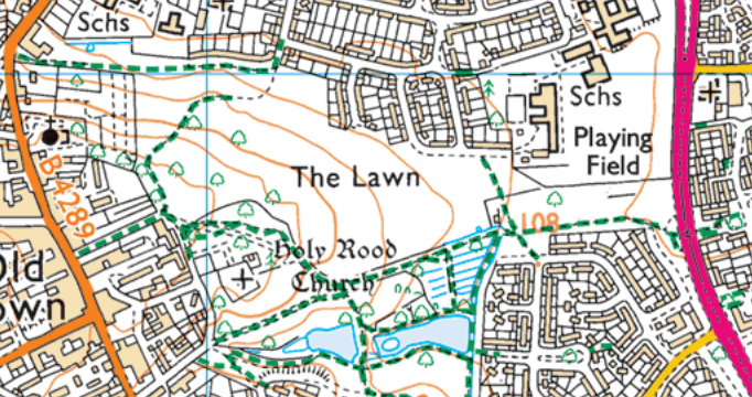
The lettered points mentioned below are those on the course map.
I was interested in looking at the terrain near to L, M, F and G and so I didn't see much of the course.
Although there are some tarmac footpaths, I understand that the routes will mainly avoid these and use the grass. In the bit of the Park that I went to, the grass was short and there were a few muddy bits but it wasn't significantly muddy.
The contours on this OS map are at 5m metre intervals.
The highest point in the Park is near to M
and M is about 30m higher than the Start/Finish area which is near to H.
Each lap involves you going from that area up to M and back down again.
Although I had the course map with me,
it was difficult to decide where on the ground the routes actually went.
So all the lettered points mentioned in the captions to the photos are guesswork
and may be nonsense.
I don't want any feedback on whether I've guessed right!
Even if I'm wrong, the photos may give some idea of the countryside.
All the photos except the 1st and 7th are taken in the direction of the runners coming towards me.
Click on a photo if you wish to see a hi-res version.
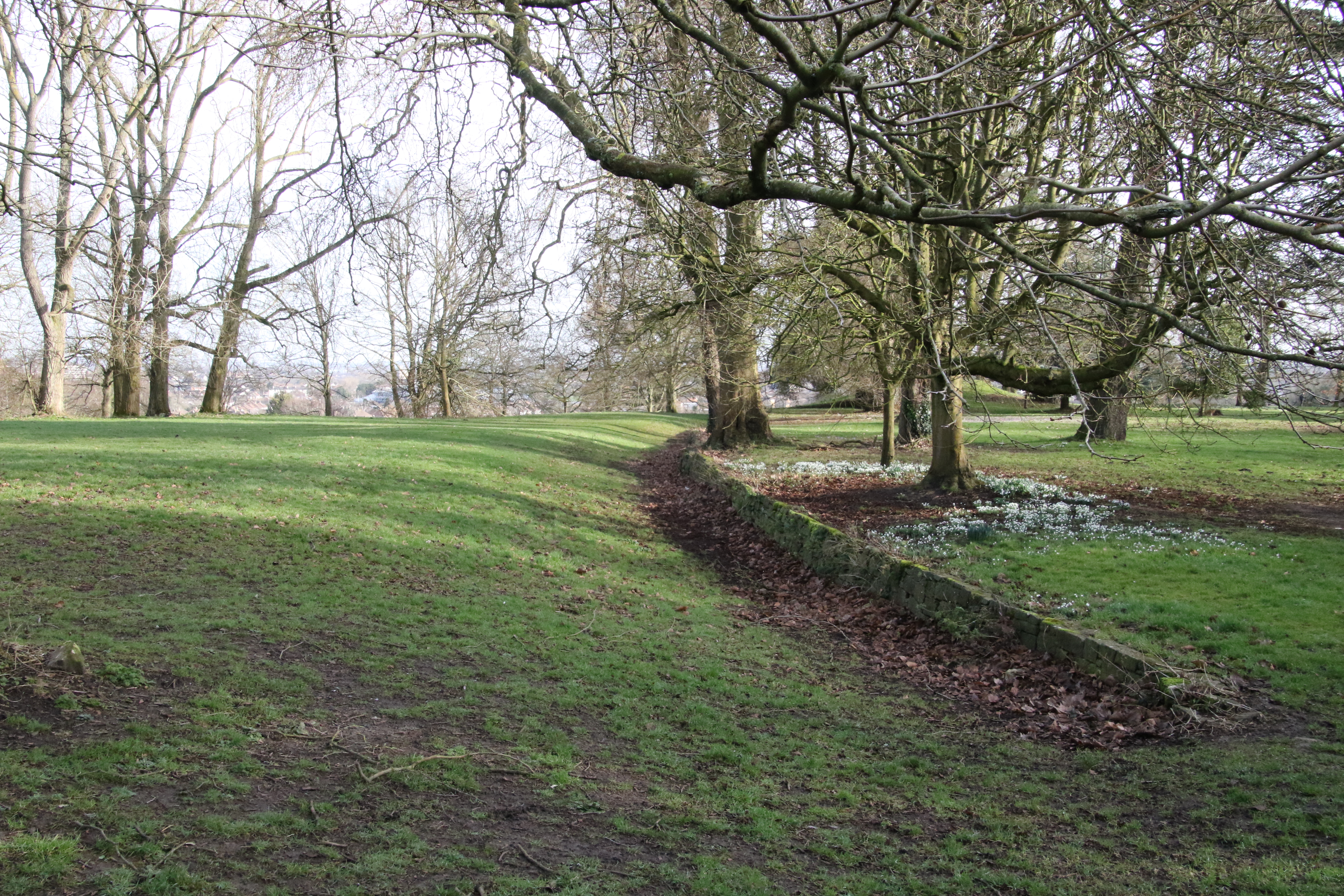
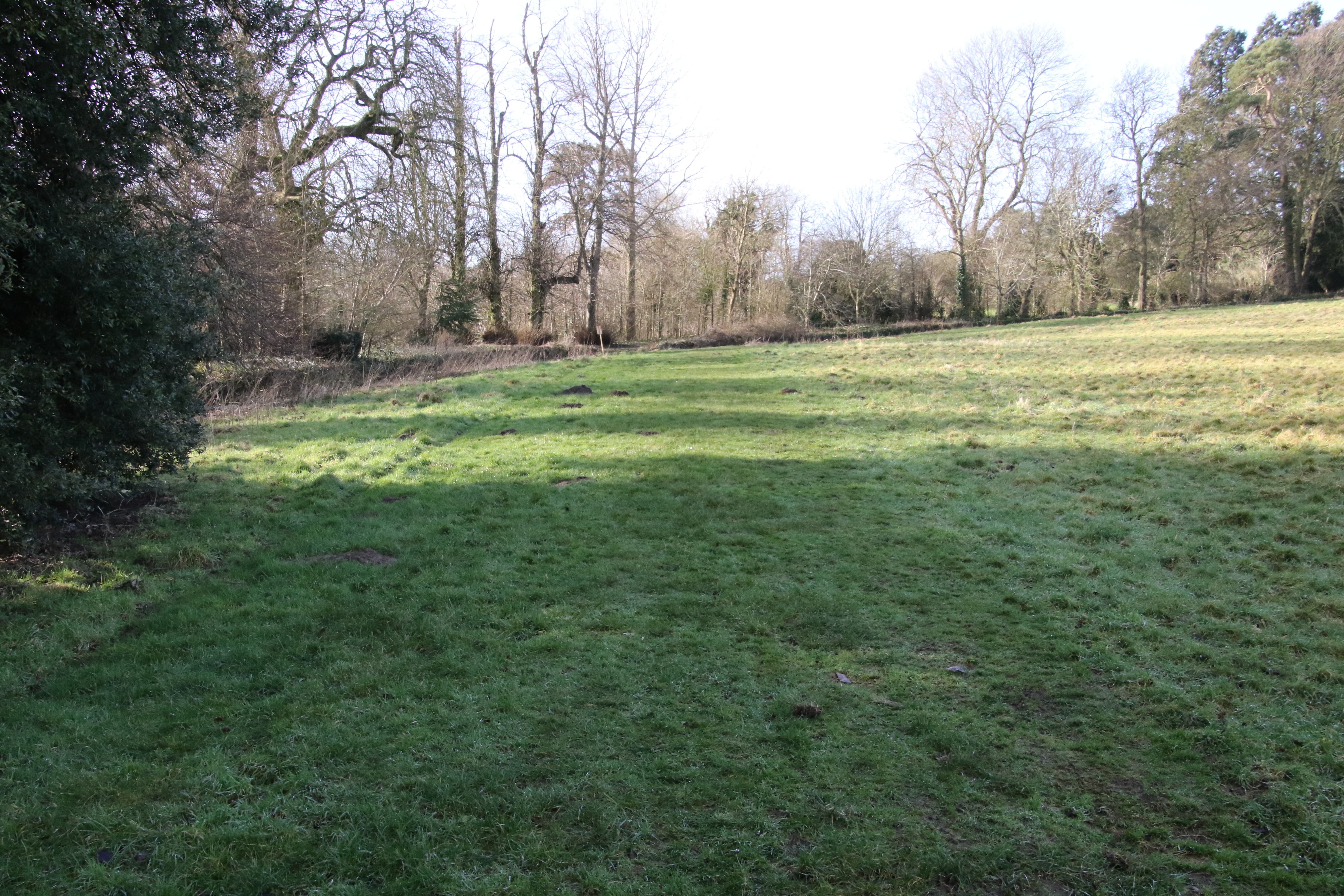
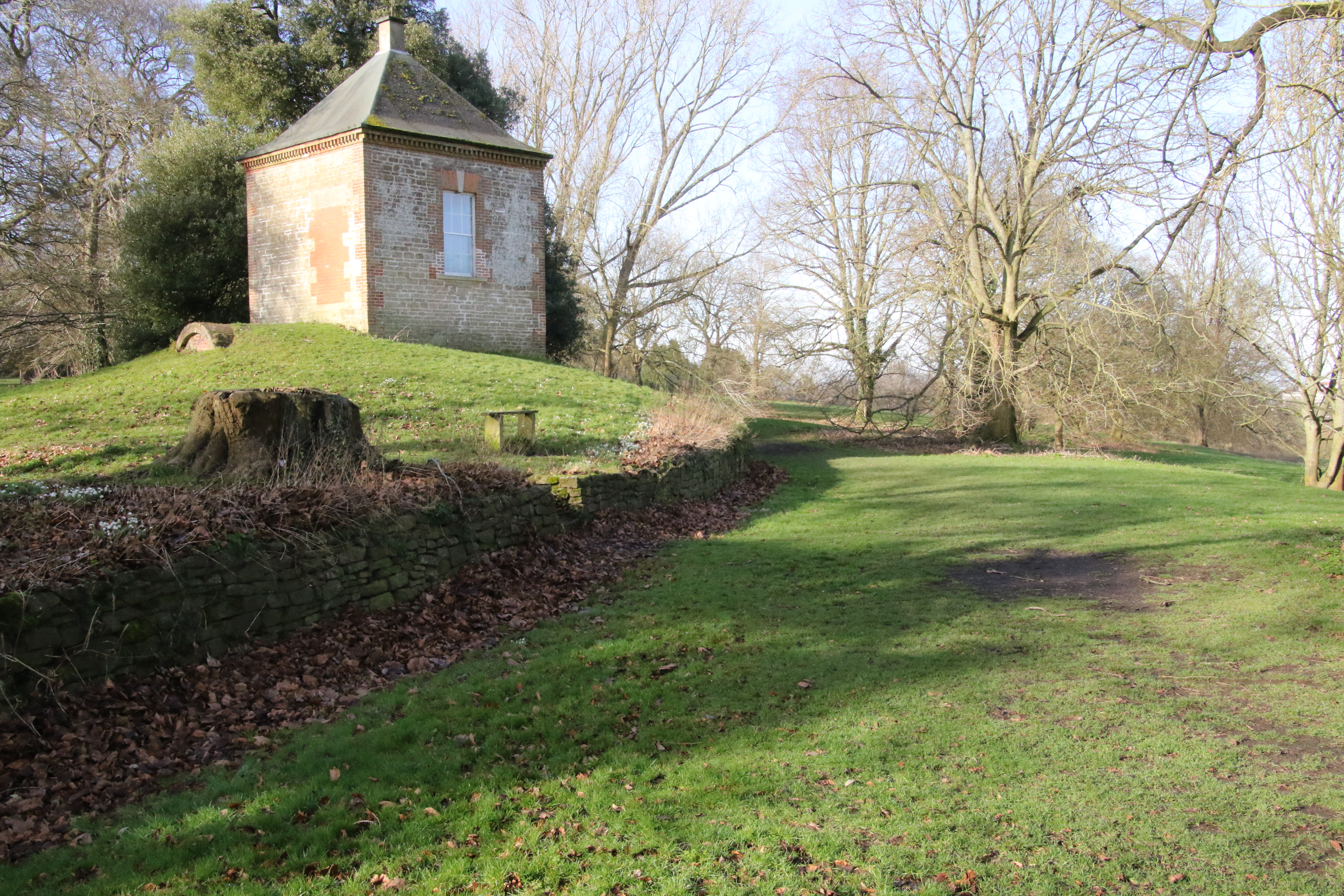
1: looking from M in the direction of F - used on the Small and Medium Laps
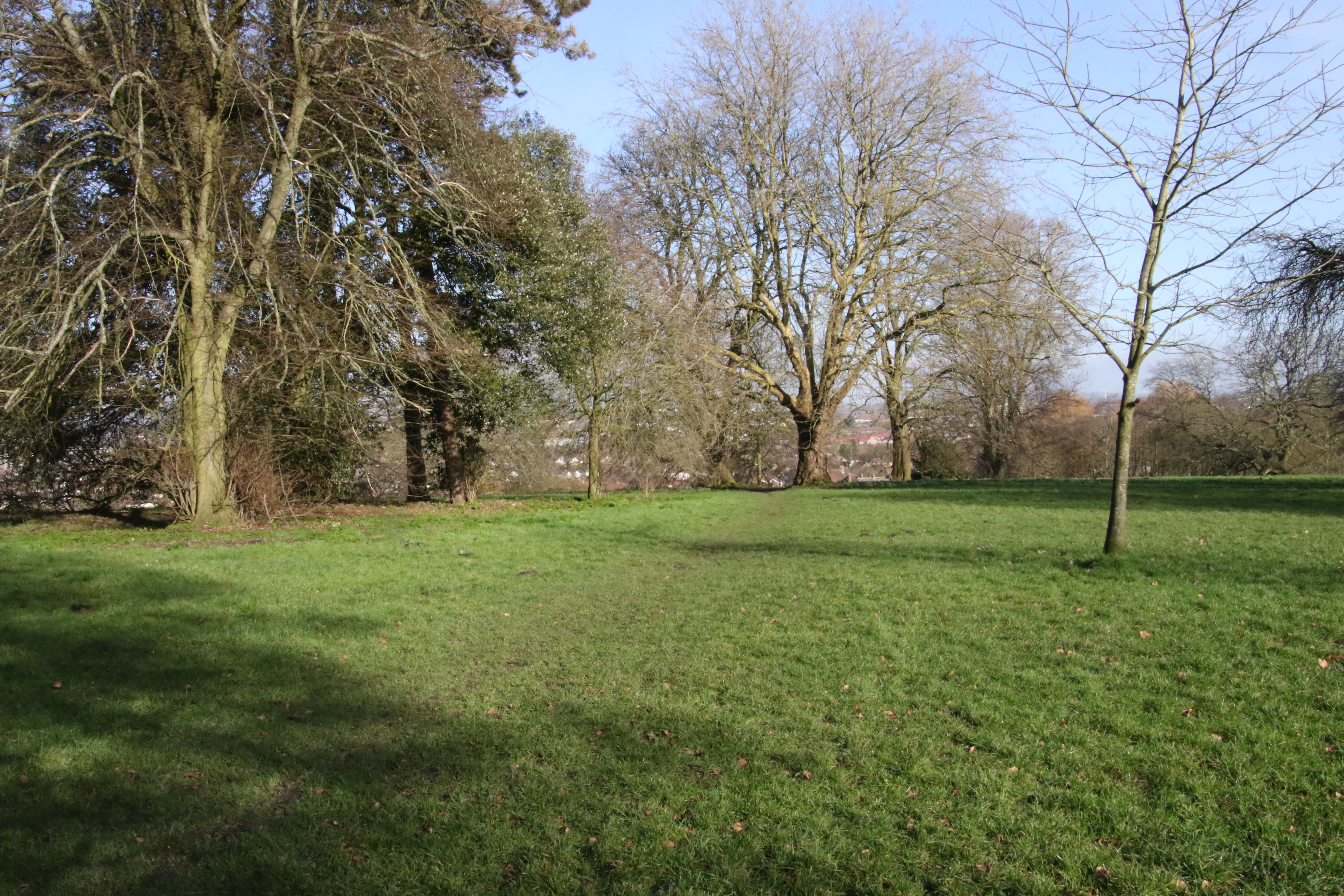
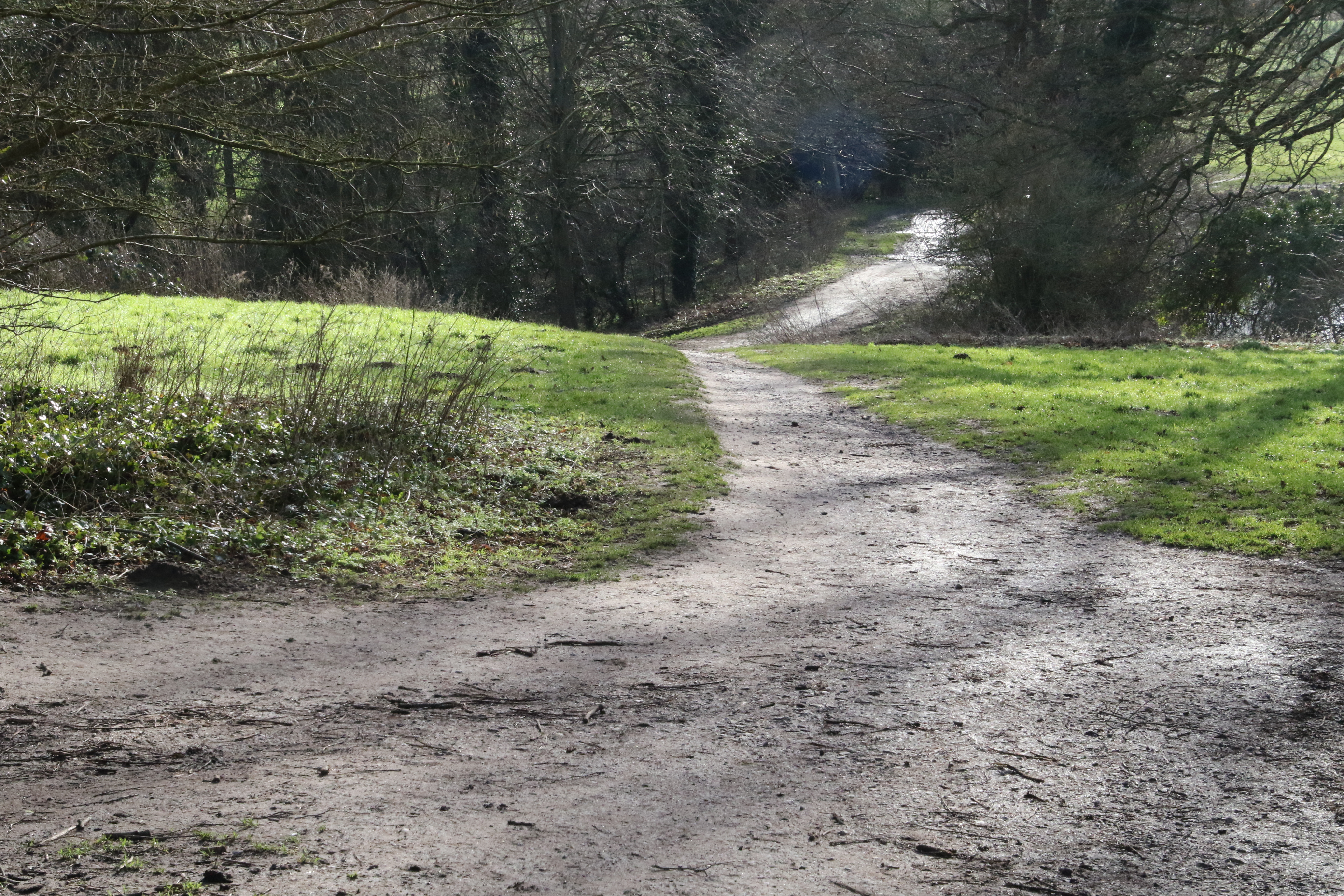
2: this may be the path from M to I - used on the Small Lap
3: another view of that possible path from M to I - used on the Small Lap
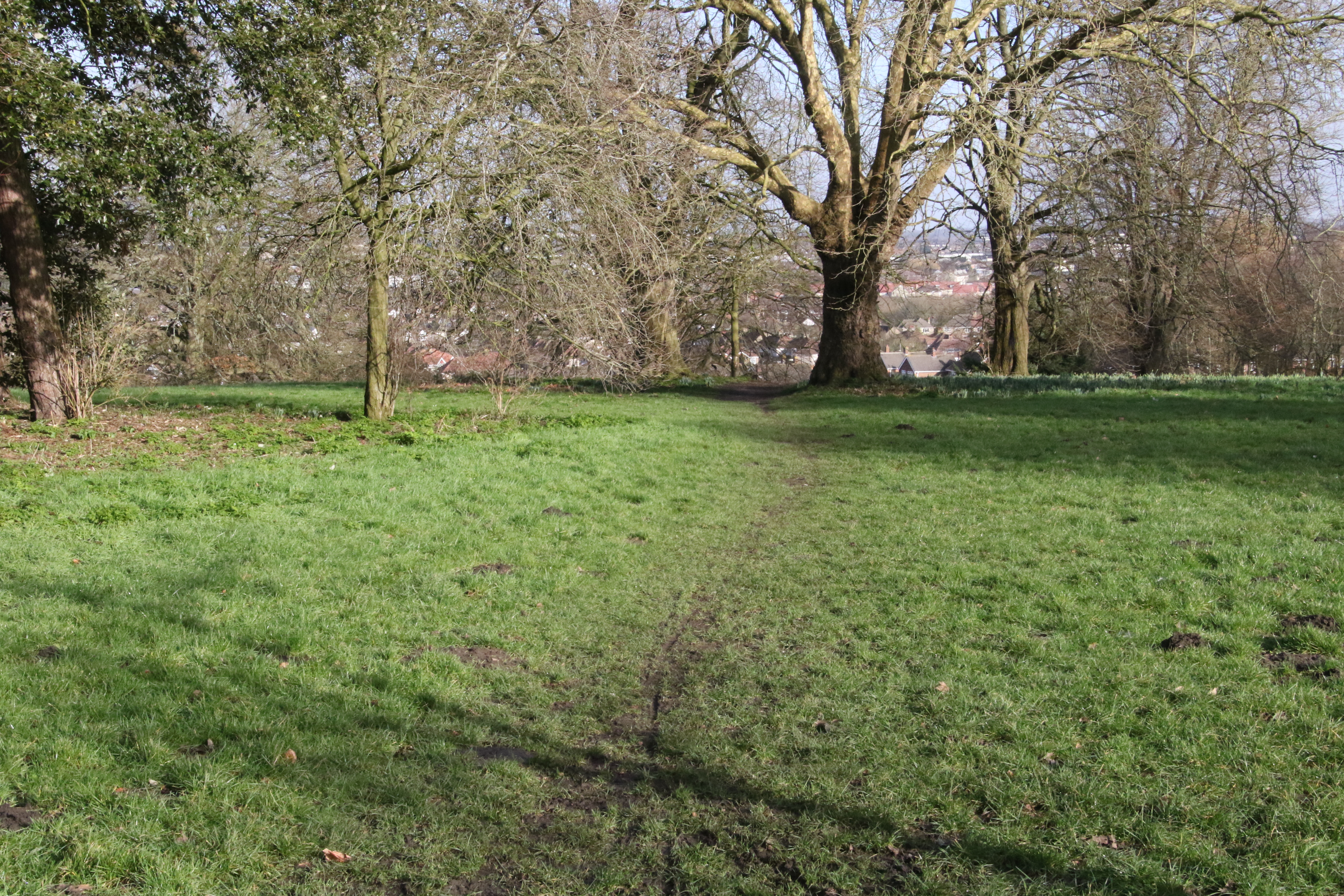
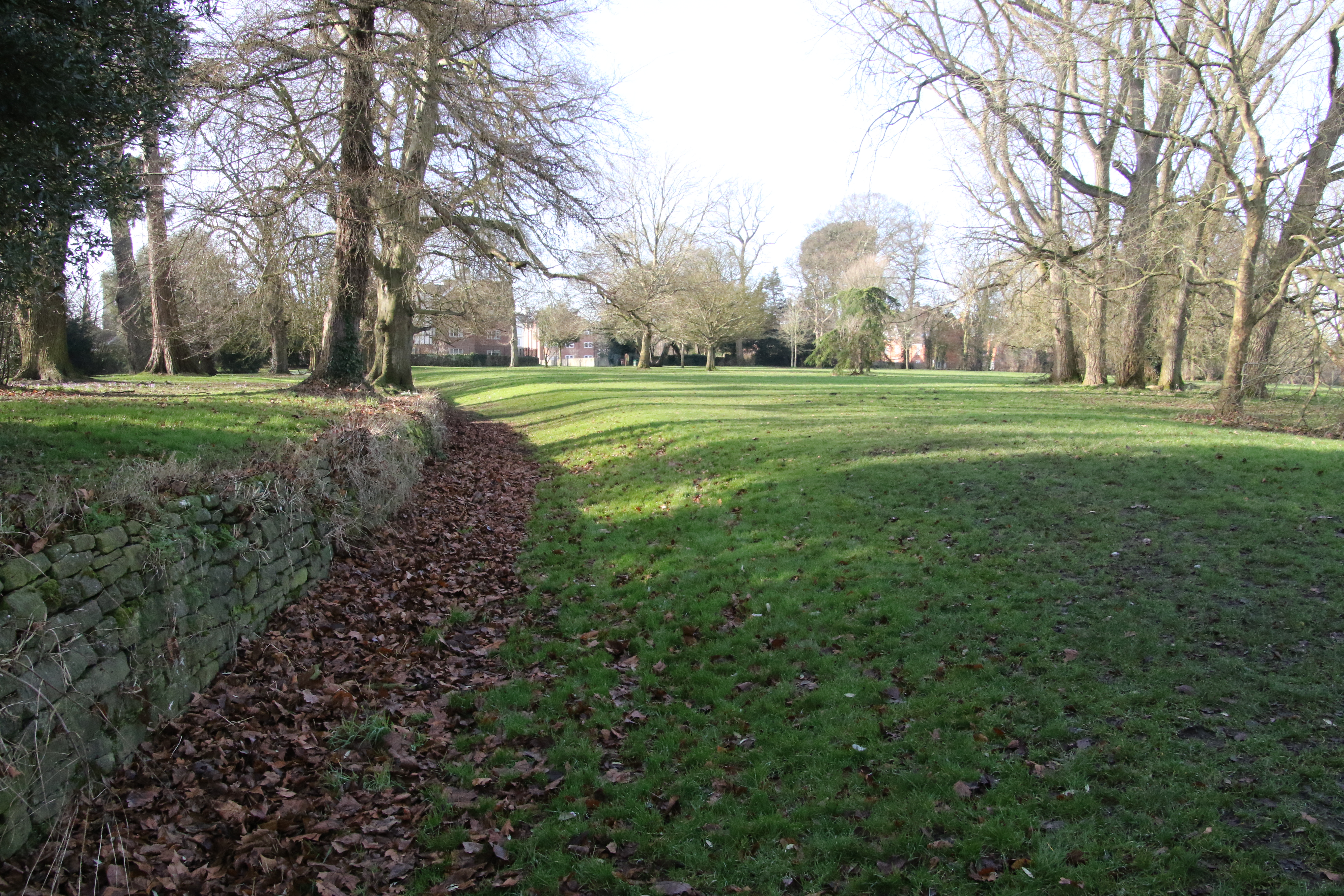
4: looking from halfway between H and G in the direction of G - used on all laps
5: looking from G in the direction of U and T - used on the Long Lap
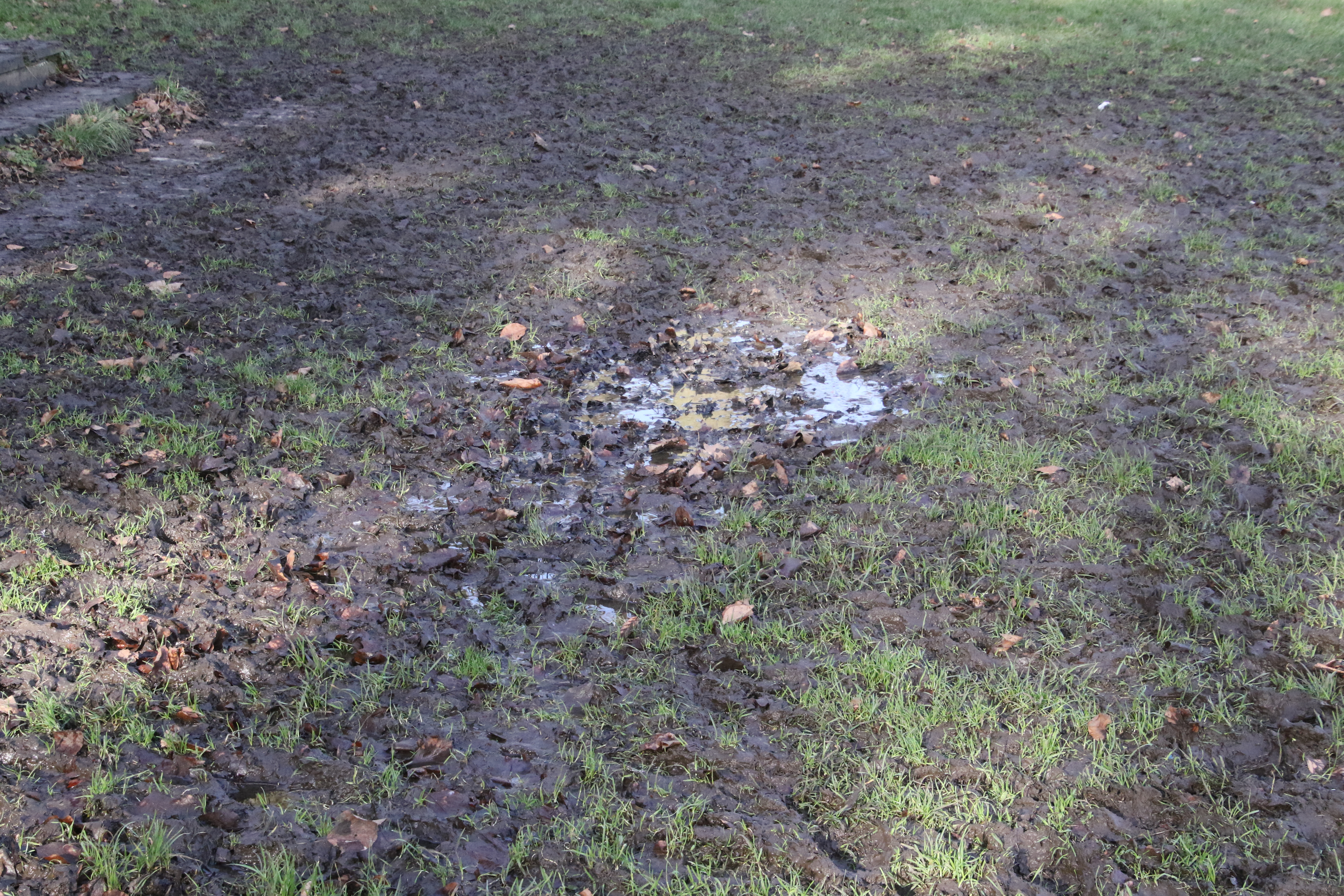
6: a muddy patch near to F
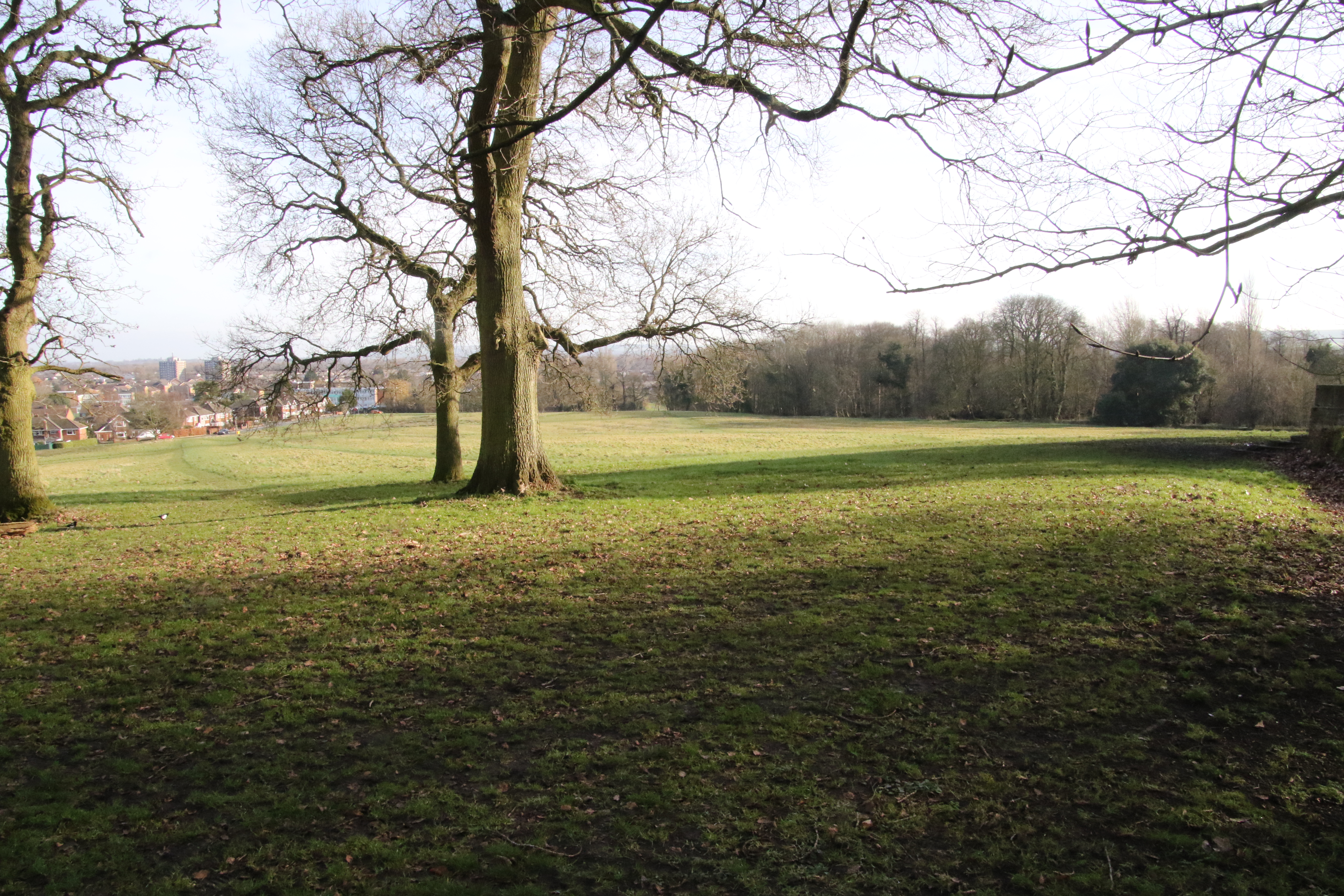
7: looking from near to F downhill with the Start/Finish in the distance
8: looking from near to F towards M but that's around the corner behind the building - used on the Small and Medium Laps
9: looking from halfway between F and M in the direction of M - used on the Small and Medium Laps
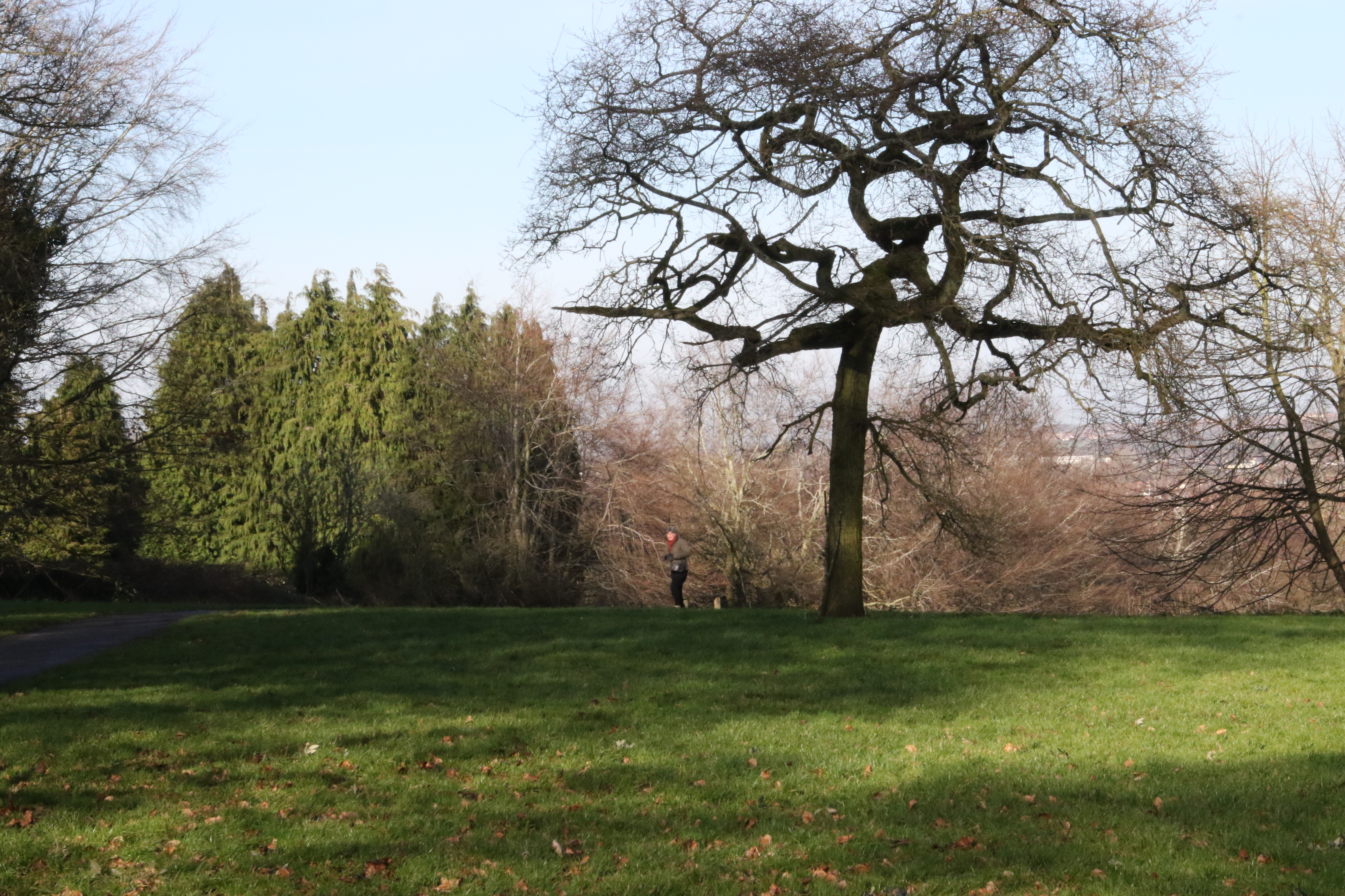
10: looking from L in the direction of K which is below the person in the distance - used on the Medium and Long Laps
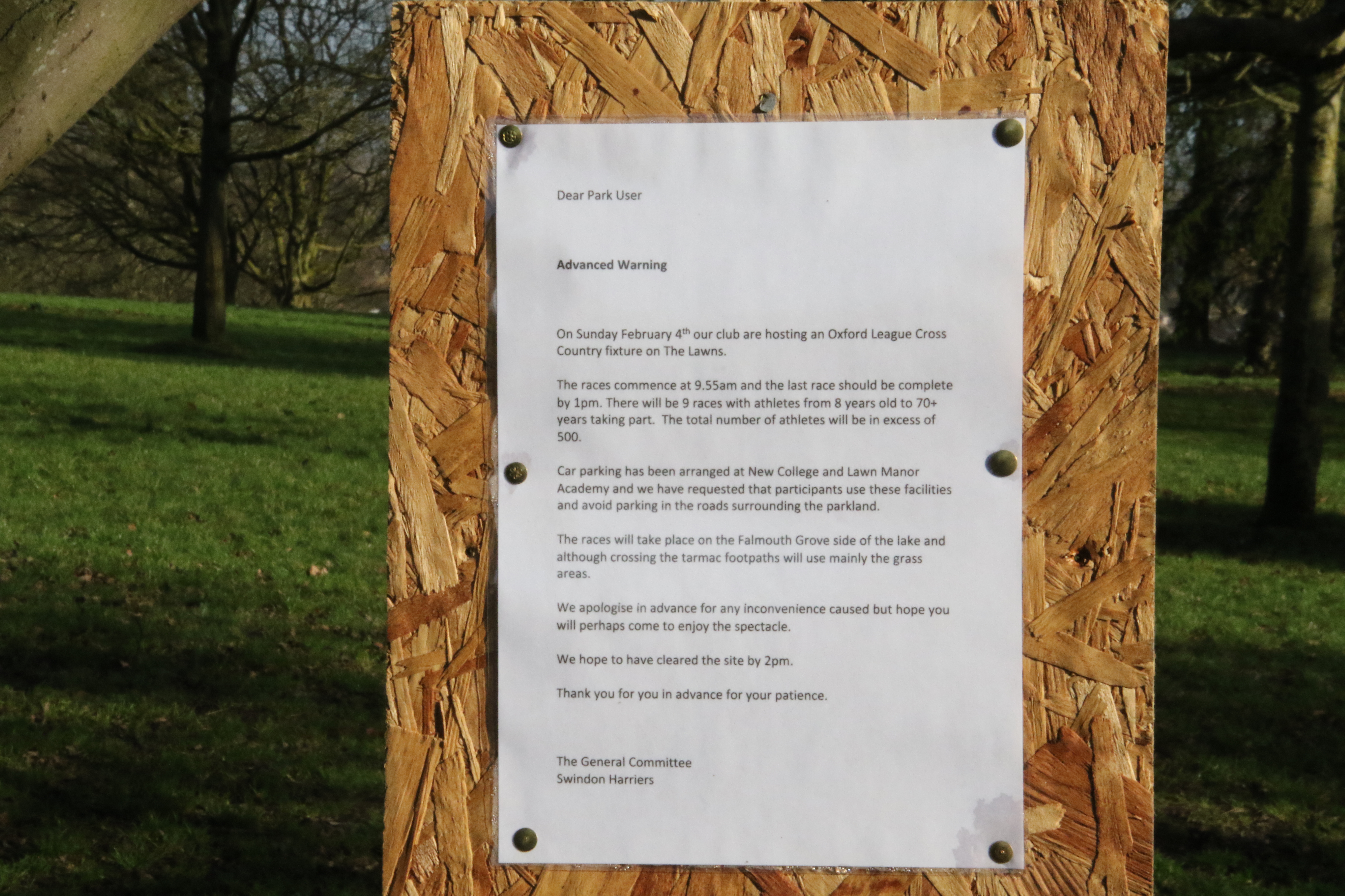
11: Swindon Harriers have put up several signs warning the locals
The map on this web page was taken from www.rowmaps.com. The map is an Ordnance Survey map provided by Bing Maps. The Ordnance Survey map is © Crown copyright and database rights 2018 Ordnance Survey.